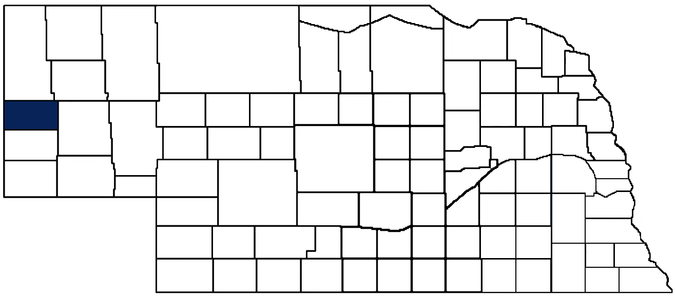
- General Info
- Demographics
- Education and Employment
- Valuation and Taxes Levied
- State Senators
- History
- County Programs
- Other Information
Communities and Development
Scotts Bluff County Seat (pop.): Gering
Total County Population: 36,084
- Cities (pop. & class): Gering (8,564 • 1st Class), Minatare (715 • 2nd Class), Mitchell (1,548 • 2nd Class), Scottsbluff (14,436 • 1st Class), Terrytown (1,057 • 2nd Class)
- Villages (pop.): Henry (125), Lyman (259), McGrew (75), Melbeta (108), Morrill (934)
- Unincorporated Pop. (% of county pop.): 8,263 (23%) 2020
Land Development (% of total land in county):
- Agriculture: 81%
- By method: Pasture (pure grassland) (40%); Irrigated (row crop/grain/forage) (35%); Dryland (row crop/grain/forage) (6%) • Neb. Dept. of Rev. - total equals agriculture's %
- By commodity: Livestock (grassland) 46%, Corn 19%, Alfalfa 12%, Dry Beans 5%, Wheat 2%, Sugar beets 1%, Other Hay 1% • USDA - equals agriculture's % plus some wetlands (4%) and some fallow land (1%) and minus public grassland/wetlands and reserve
- Residential, Commercial, Industrial, Conservation Reserve & Exempt (combined): 19% 2022
County Offices
Courthouse Address and Hours:
1725 10th Street
Gering, Nebraska 69341
M-F 8:00 am - 4:30 pm
Administration Building Address and Hours:
1825 10th Street
Gering, Nebraska 69341
M-F 8:00 am - 4:30 pm
County Board Chairperson: Ken Meyer
Complete list of county board members
County Board Meetings: 1st & 3rd Monday
View the County's Government Maps
NACO District: Panhandle
Click for a live look at Scotts Bluff County (west of Scottsbluff)
General
Population: 36,084
Land area (sq. mi.): 739.61
Population per square mile: 48.8
Race and Age
Race 2020
White: 71.3%
African American: 0.6%
American Indian: 1.3%
Asian: 0.8%
Hispanic: 22.7%
Native Hawaiian and Pacific Islander: 0.1%
Two or More Races: 3.0%
Age 2020
0-17: 24.8%
18-64: 55.5%
65+: 19.7%
Households
Total households: 14,689 2020
With one child: 1,960 2022
With 2+ children: 2,430 2022
With seniors (65+): 3,360 2022
Socioeconomics
Personal income per capita: $53,341 2021
% of Population in Poverty: 15.3% 2022
# of Housing Units: 16,494 2020
2023 housing unit building permits: 29
Owner-occupied rate: 67.4% 2020
Median home price: $189,940 Q1 2024
Technology
Access to broadband (100 Mbps via fiber or cable modem): 82.9% 2021
Sources: National Association of Realtors, Nebraska Department of Revenue, Nebraska Legislature, Nebraska Library Commission, U.S. Bureau of Economic Analysis, U.S. Census Bureau (building permits), U.S. Census Bureau (demographics), U.S. Census Bureau (municipalities)
Employment, Schools, and Child Care
Unemployment rate: 2.2% Sept. 2024
County Employment Website: https://www.scottsbluffcounty.org/personnel/employment-jobs.html
High school graduate or higher: 88.7%
School Districts: Banner County Public Schools, Bayard Public Schools, Gering public Schools, Minatare Public Schools, Mitchell Public Schools, Morrill Public Schools, Scottsbluff Public Schools
Bachelor's degree or higher: 23.1%
Community College Service Area: Western Community College
Countywide child care capacity: 57 providers; 2,113 children
Find child care: For a list of child care providers in your zip code, visit Nebraska DHHS or the Nebraska Resource and Referral System.
Scotts Bluff County
Annual Gross Domestic Product (GDP): $1,745,281,000 2022
Nonfarm Small Business Receipts: $701,091,704 2021
Nonfarm Wage Income: $674,669,000 2022
Farm and Ranch Commodity Sales Receipts: $357,378,000 2022
Farm and Ranch Operations (Non-Sales) Receipts: $12,133,000 2022
- For components of nonfarm small business receipts, nonfarm wage income, and farm & ranch commodity sales and operations receipts, see "Notes" below.
Grain Elevators by Location (bushels capacity):
- Gering: Crossroads (4,372,000), Kelley Bean (392,000), New Alliance (475,000), New Alliance (675,000), Western Sugar (30,595,000), Trinidad/Benham (255,000), West Plains (1,209,000)
- Lyman: Crossroads (2,028,000), Kelley Bean (81,000)
- Minatare: Kelley Bean (437,000)
- Mitchell: Crossroads (2,028,000), Kelley Bean (160,000), West Plains (1,209,000)
- Scottsbluff: Kelley Bean (332,000), Western Sugar (70,987,000)
- 1 bushel = 56 lbs. corn/sorghum, 60 lbs. soybeans/wheat; % max. moisture = 18% beans, 15.5% corn, 14% sorghum/soybeans, 13.5% wheat
Railroad Miles: 141.15 main, 91.10 side
- Places with Railroad Service: Gering, Henry, Lyman, Minatare, Mitchell, McGrew, Melbeta, Morrill, Scottsbluff, Terrytown
Local Grain Market: Click for today's grain prices in Scotts Bluff County
Cattle Producers: 237
- Pastureland Cash Rent (avg.): $13/acre 2024
Crop Producers: 489
- Irrigated Land Cash Rent (avg.): $184/acre 2024
Farmers Markets:
- 18th Street Farmers Market (Scottsbluff) (June - September, Saturdays 8:00 a.m. - 11:00 a.m.)
- Gering Farmers Market (July - September, Thursdays 5:00 p.m. - 7:30 p.m.)
- Mitchell Market (June - October (except Aug. 13th), Saturdays 8:30 a.m. - 12:30 p.m.)
- Morrill Farmers Market (Mid-July - October, Tuesdays 3:00 - 6:00 p.m. and Saturdays 11:00 a.m. - 2:00 p.m.)
- Scottsbluff Winter Farmers Market (through March, Saturdays 11:00 a.m. - 2:00 pm)
Oil Wells Producing (barrels of oil/yr): 5 wells (7,765 barrels)
Electricity Providers: Chimney Rock PPD, City of Gering, City of Mitchell, Nebraska PPD, Roosevelt PPD, Village of Lyman, Village of Morrill, Wyrulec Company
Wind Turbines Operating (MW): 1 turbine (MW unknown)
Notes
- Nonfarm small business receipts are reported by partnerships and sole proprietorships. They do not include receipts reported by cooperative associations.
- Nonfarm wage income is reported based upon the wage earner's residential address; therefore, it also includes wages earned by Scotts Bluff County residents in other counties or states, but it excludes wages earned in Scotts Bluff County by residents of other counties or states.
- Nonfarm wage income excludes wages earned by anyone claimed as a dependent.
- Farm and ranch commodity sales receipts and operations receipts are reported based upon the farm or ranch owner's principal county of operations; therefore, those figures also include receipts reported by producers operating principally in Scotts Bluff County for their production in other counties or states, but the figures exclude receipts reported for production in Scotts Bluff County by producers operating principally in other counties or states.
Well Locations (Irrigation/Livestock), Soils, Groundwater & Surface Water
Total Irrigation/Livestock Wells: 951 2024
Irrigation/Livestock Wells per Square Mile: 4.58 2024
Surface Water Diversions (Irrigation): 114 2024
Click for real time:
Streamflow data on the North Platte River at Scottsbluff
Sources: National Agricultural Statistics Service (USDA), Nebraska Cooperative Council, Nebraska Coordinating Commission for Postsecondary Education, Nebraska Department of Health and Human Services, Nebraska Department of Revenue, Nebraska Department of Transportation, Nebraska Office of the CIO, Nebraska Power Review Board, Nebraska Public Service Commission, U.S. Bureau of Economic Analysis, U.S. Bureau of Labor Statistics, U.S. Census Bureau, U.S. Energy Information Administration, U.S. Department of the Treasury (IRS), Warehouse and Commodity Management Division (USDA)
2023 Levies and Valuation
County levy rate: $0.3744 per $100 of taxable valuation
County property taxes levied: $13,524,139
Total local government property taxes levied: $69,672,376
Total countywide taxable valuation: $3,612,124,368
Federal PILT payment to Scotts Bluff County (FY2024): $34,617 regarding 10,340 federally-owned acres
Click here for all levy rates in Scotts Bluff County
County Levy and Taxation Laws
Levy limits
Since 1996, counties and other political subdivisions have been subject to the levy limits listed in Neb. Rev. Stat. § 77-3442 and Neb. Rev. Stat. § 77-3443.
Statutes and regulations
Nebraska Revised Statutes (Chapter 77)
Nebraska Administrative Code (Title 350)
Local tax reductions, exemptions, and credits
Neb. Rev. Stat. § 76-902(5)(a) (Deed "stamp tax" exemption): "The [stamp tax] shall not apply to: ... (5)(a) Deeds between spouses, between ex-spouses for the purpose of conveying any rights to property acquired or held during the marriage, or between parent and child, without actual consideration therefor."
Neb. Rev. Stat. § 77-201(2) (Valuation of agricultural land and horticultural land): "Agricultural land and horticultural land as defined in section 77-1359 shall constitute a separate and distinct class of property for purposes of property taxation, shall be subject to taxation, unless expressly exempt from taxation, and shall be valued at seventy-five percent of its actual value, except that for school district taxes levied to pay the principal and interest on bonds that are approved by a vote of the people on or after January 1, 2022, such land shall be valued at fifty percent of its actual value."
Neb. Rev. Stat. § 77-6703(1) (Tax credit for school district taxes paid): "(1) For taxable years beginning or deemed to begin on or after January 1, 2020, under the Internal Revenue Code of 1986, as amended, there shall be allowed to each eligible taxpayer a refundable credit against the income tax imposed by the Nebraska Revenue Act of 1967 or against the franchise tax imposed by sections 77-3801 to 77-3807. The credit shall be equal to the credit percentage for the taxable year, as set by the department under subsection (2) of this section, multiplied by the amount of school district taxes paid by the eligible taxpayer during such taxable year."
Sources: Nebraska Department of Revenue
State Senator: Brian Hardin (District 48)
Committees
Map and statistics for Legislative District 48
Map of all districts in the Nebraska Unicameral Legislature

Scotts Bluff County History
Number of Registered Historic Places: 21
Year Authorized: 1888
Year Organized: 1888
Etymology: Nearby bluff formations and Hiram Scott, a fur trader who reportedly died at the foot of the formations
Scotts Bluff County is one of just two counties in Nebraska to receive its name from a local landmark. In this case it is a towering bluff located near the county seat of Gering. Known as the Scotts Bluff National Monument, its history is significant to this area of the Panhandle.
The bluff was named after fur trapper Hiram Scott. History accounts indicate that Scott was part of a trapping party headed up the North Platte River Valley. When he and two other trappers became ill, they were left behind to return downstream by boat. Along the way the boat capsized and the three, who lost all supplies, began walking. Scott fell and broke his leg. Once again he was left behind. The following spring Scott's skeleton was found at the foot the bluff that bears his name. He had apparently crawled 75 miles before he died.
Scotts Bluff County was originally part of the Louisiana Purchase and eventually part of Cheyenne County, which made up the southern half of the Nebraska Panhandle when the state was admitted to the Union in 1867. In an 1888 vote, Scotts Bluff County was formed. Gering, which was founded the previous year, was named the county seat.
The Oregon Trail, Mormon Trail and Pony Express Route brought early travelers and settlers to the area. But it was actually the railroads which spurred the greatest growth. The Chicago, Burlington and Quincy was built through the townsite of Scottsbluff in the early 1900s. It was not until 1911 that the Union Pacific Railroad came to Gering. Despite the two communities being separated only by the North Platte River, this fact resulted in Scottsbluff growing at a faster pace. Today, Scottsbluff and Gering combine to serve as a central retail hub for a 150-mile radius.
The lush North Platte River Valley that runs from northwest to southeast across the county is prime crop production land. Principal crops today include sugar beets, alfalfa, corn, pinto and northern beans, wheat and potatoes. Additionally, livestock production is another vital part of the county's economy.
Highlight an important program in your county in this space! Send an email to:
Local Highlights
License Plate Number: 21
Time Zone: Mountain
Number of Veterans: 2,264 2023
Zoned County: Yes
Number of County-Owned Bridges: 199
Election Data
General Election Turnout: 65.67% 2024
Total Registered Voters: 23,080 2024
Number of Precincts: 29 2022
Number of Election Day Polling Places: 23 2022
Land Area per Polling Place (avg.): 32.42 sq. miles
Intergovernmental Data
Emergency Mgt. Planning, Exercise and Training (PET) Region: Panhandle
Natural Resource District: North Platte NRD
State Lands (acres): Buffalo Creek WMA (4,141.32 Banner & Scotts Bluff), Cedar Canyon WMA (2,200), Kiowa WMA (505.30), Miniature Lake SRA (2,400), Mitchell Ag Lab (269), Montz Point WMA (814.58), Nine Mile Creek WMA (180), Wildcat Hills SRA (Banner & Scotts Bluff), Wildcat Hills WMA (190.19)
Federal Lands (acres): North Platte NWR (2,909)
Sources: Nebraska Department of Transportation, Nebraska Emergency Management Agency, Nebraska Game & Parks Commission, Nebraska Legislature, Nebraska Office of the CIO, Nebraska Secretary of State, U.S. Department of Veterans Affairs, U.S. Election Assistance Commission, U.S. National Archives and Records Administration (eCFR)